Drive In
Forrest township, (postcode 6434) is located 120km north west of the town of Eucla. The access road from Eucla is not constructed and is only accessible by 4WD vehicles or those vehicles with high clearance. It is important when traveling to Forrest by 4wd that outback traveling practices are followed. Tracks to Forrest should not be traveled after rain, check road conditions with Managers on (08) 9022 6403. Tracks are not suitable for caravans. It is recommended that you inform the local police or the Forrest Managers of your travel plans and expected ETA. Adequate supplies and spare parts should be carried. Fuel and water, camping, accommodation and meals are available at Forrest.
Train In
The Indian Pacific passes through Forrest four times a week, Monday and Thursday eastbound and Monday and Friday westbound. It is possible to disembark the train at Forrest and continue your journey or return to the same port on another train. This needs to be arranged with the managers of Forrest, self contained accommodation is available or we can fully cater for you.. See Indian Pacific Timetable for details.
Fly In
For Charter Flights contact Goldfields Air Services (08) 9093 2116 ex Kalgoorlie/Boulder Airport or Maroomba Airlines ex Perth Airport.
Aerodrome Particulars
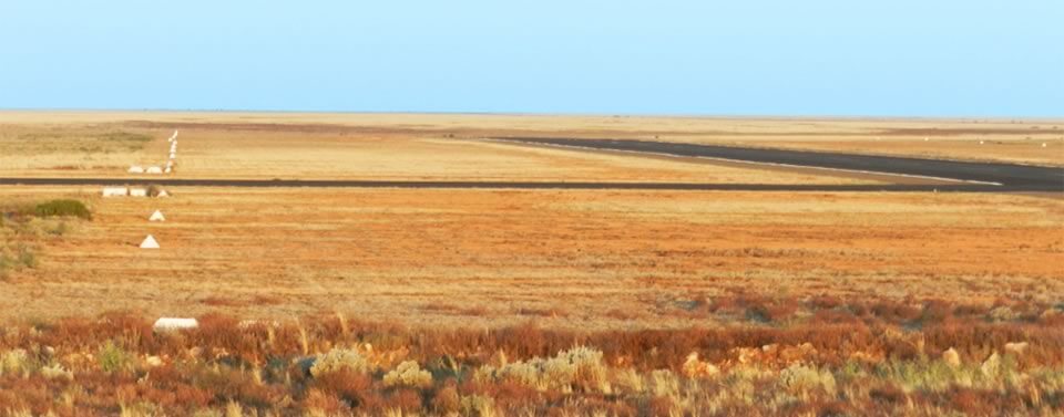
Forrest Aerodrome is located immediately to the north of the Forrest Transcontinental rail siding, some 600 km east of Kalgoorlie and 88 km west of the South Australian border.
The aerodrome is public and has two direction sealed runways together with taxiways aprons, passenger shelter, hangar, aviation fuel storage and dispensing facilities and residential buildings on 384.046 hectares of land.
The aerodrome is used primarily as a refueling stop for private, charter and the Royal Flying Doctor (RFDS), and also Navy, RAAF and Army aircraft.
The aerodrome is situated within the municipality of the City of Kalgoorlie-Boulder but resides outside of the Town Planning Scheme area.
Primary Runway
North south direction 18/36 has a bitumen pavement 1519 x 45 metres, contained by a graded runway strip of 1829 x 150 metres delineated by white painted gable markers on its extremities. The runway is lit to enable night landing and take-off operations. The runway lights are pilot activated at frequency 119.6Mhz; an illuminated wind indicator is located near the apron.
Secondary Runway
East west direction 09/27 sealed runway 1349 x 30 metres, contained by a graded runway strip of 1409 x 150 metres delineated on its extremities by white painted gable markers.
Apron
Is sealed and is located at the southern end of runway 18/36. The apron can be floodlit by manual activation of the switch located on the floodlight pole.
Public Facilities
Located at the end of the apron is a passenger shelter/ablution facilities and aircraft hangar.
Aerodome Information
Current Forrest aerodrome information is published by Airservices Australia in the Aeronautical Information Publication (AIP) Enroute Supplement Australia (ERSA) at www.airservicesaustralia.com/aip/aip.asp